Photos of the Week: Flyers on the Storm
Special aircraft used to ‘hunt’ hurricanes visits Pittsburgh
By BlueSkyStaff
Published April 3, 2023
Read Time: 2 mins
When it comes to predicting the weather, well, a 230-year-old almanac and a groundhog are still heavily involved in many conversations, so we think it’s safe to say the average person is less than well-informed on the subject.
Luckily, plenty of experts know an incredible amount about how the weather works, and part of that is because they get to do a lot more than just stand in the backyard and squint up at the sky like the rest of us.
RELATED STORY: Hurricane Hunters: Into the Eye of the Storm
As with most subjects, the closer you can get to something, the easier it is to understand. Meteorologists have plenty of tools to get closer to the weather, including aircraft like the Lockheed WC-130.
A modified version of the C-130 Hercules transport aircraft, the WC handles weather reconnaissance for the U.S. Air Force, a mission it has accomplished since the 1960s. The most current variant is the WC-130J “Weatherbird.”
Operated by the 53rd Weather Reconnaissance Squadron—also known as “the Hurricane Hunters”—based at Keesler Air Force Base in Mississippi, the Weatherbird monitors extreme weather systems from the central Pacific Ocean to the Atlantic.
How does it do that? The squadron’s nickname is very literal: they fly aircraft directly into cyclones, tropical storms and hurricanes to collect data and conduct research.
With a crew of five, the aircraft can stay in the air up for nearly 18 hours as it penetrates weather systems up to 10,000 feet above sea level. Even as it cuts through fierce winds and rain, its equipment can broadcast data to the National Hurricane Center every minute.
We’re not expecting hurricanes in Pittsburgh any time soon, but a WC-130 did visit the airport recently, and Charlie Beckner was there to capture it on approach.
Plenty of other airports are more attuned to the Weatherbird’s mission, and one of them is the Dare County Regional Airport (MEO) on Roanoke Island in North Carolina.
MEO has been weathering hurricanes and heavy storms for decades while serving the general aviation needs of the Outer Banks region. But most of the time, it offers gorgeous views of the beach and the ocean, like the one that Christine Jackson recently shared with us.
Thanks, Charlie and Christine!
Our readers continue to pass along shots of unique aircraft, international airports, historical events, gorgeous views and even family vacation photos for this feature. We love them! Keep them coming—you can click here for submission guidelines.
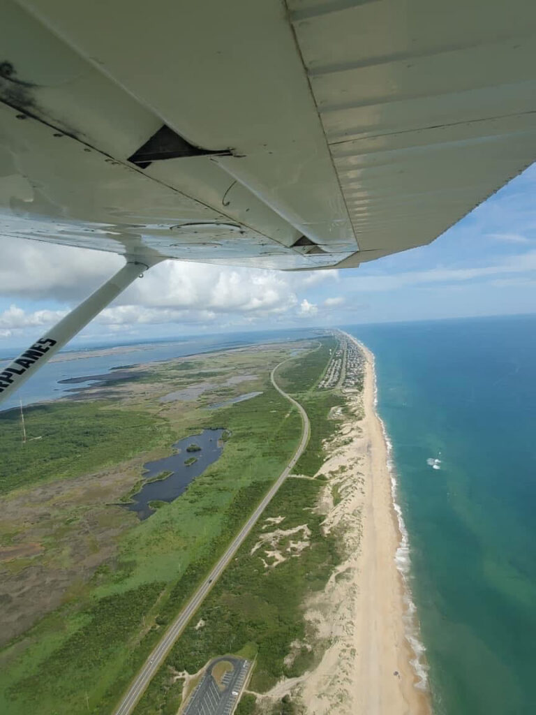
A view of North Carolina’s Outer Banks from above. (Photo submitted by Christine Jackson)
Watch
This Next

Read
This Next